Article about Mark & Marjorie and a Podcast too!
Post: Article about the Podcast https://stepintome.com/billionaire-lifestyle/
Podcast: Your fave Podcast platform or Youtube: https://www.youtube.com/watch?v=n4mZ2MCdUlA
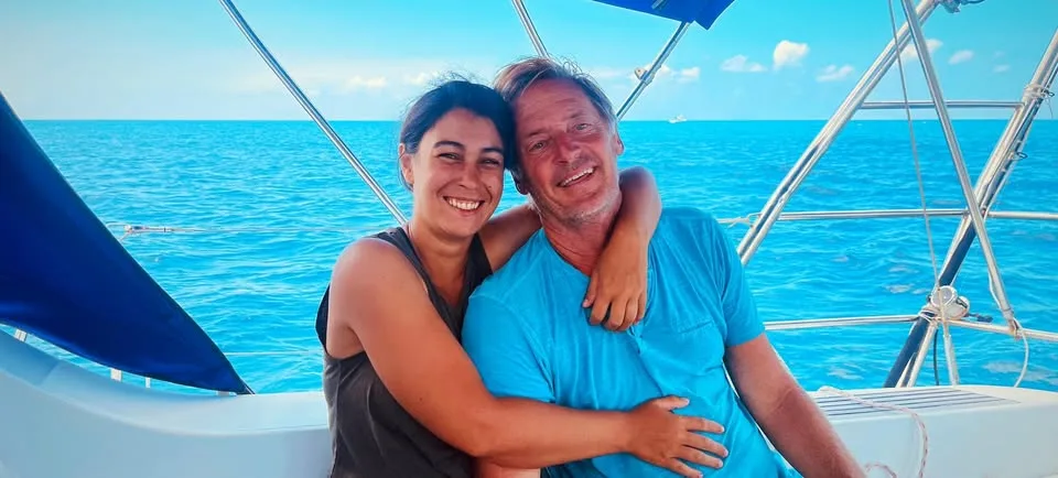
Article about Mark & Marjorie and a Podcast too!
Post: Article about the Podcast https://stepintome.com/billionaire-lifestyle/
Podcast: Your fave Podcast platform or Youtube: https://www.youtube.com/watch?v=n4mZ2MCdUlA

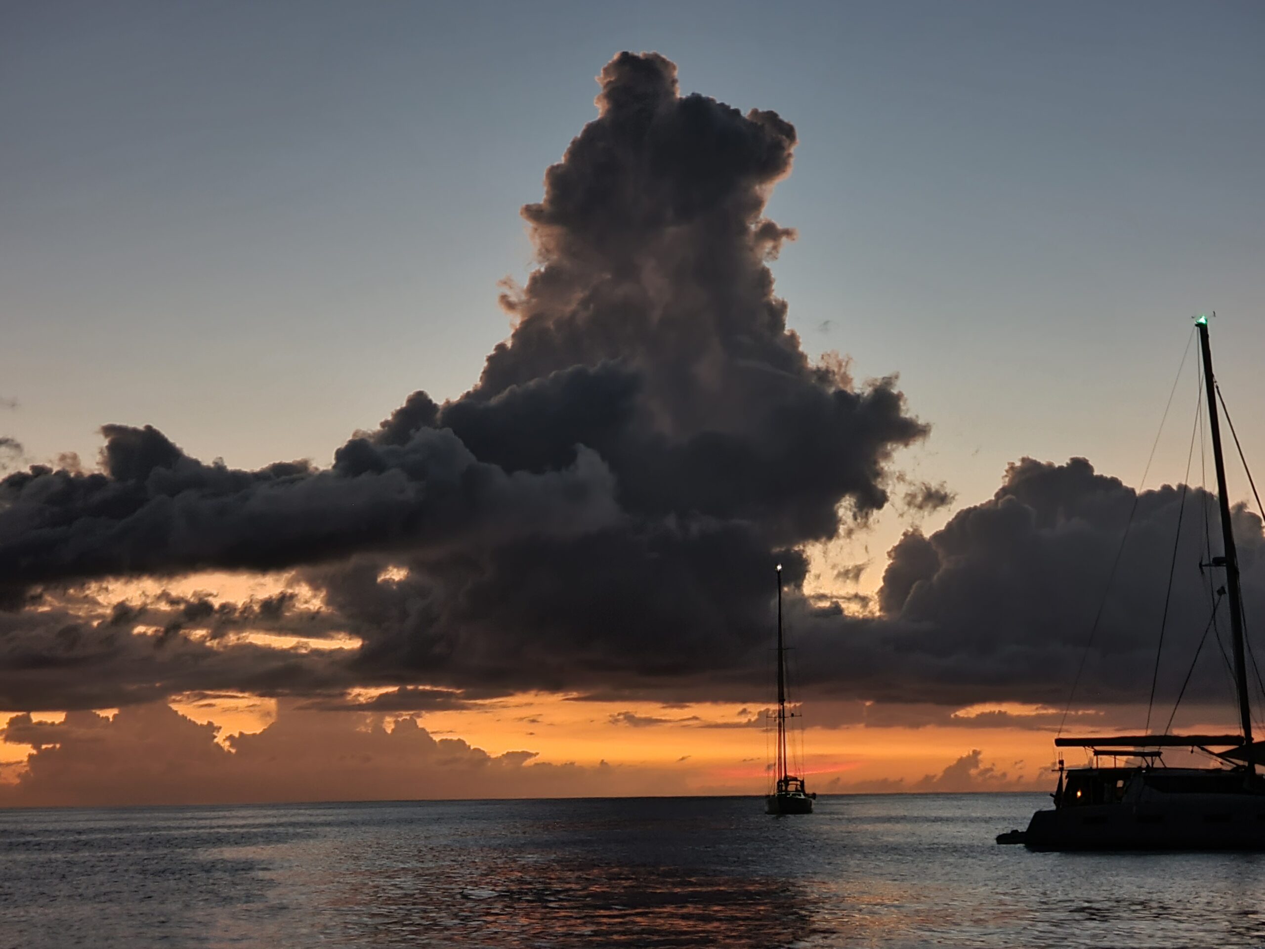
The boat is in the USA where we were for the Election. We are now in France for Christmas. And that means FOOD!
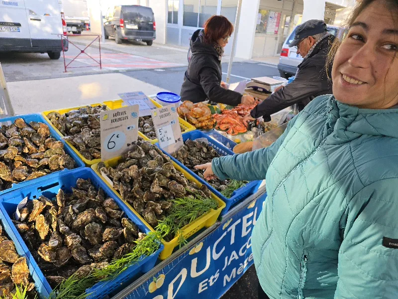
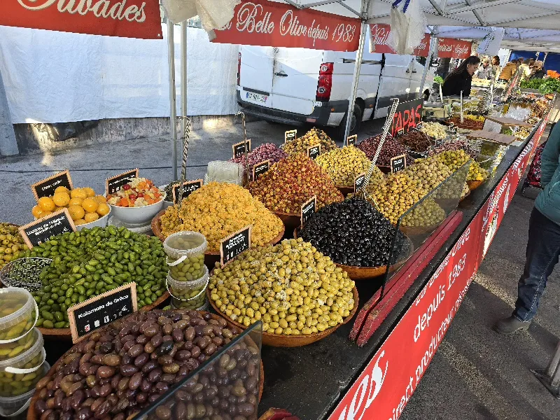

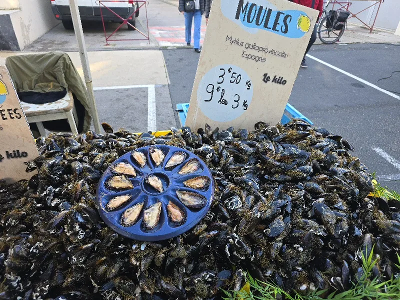
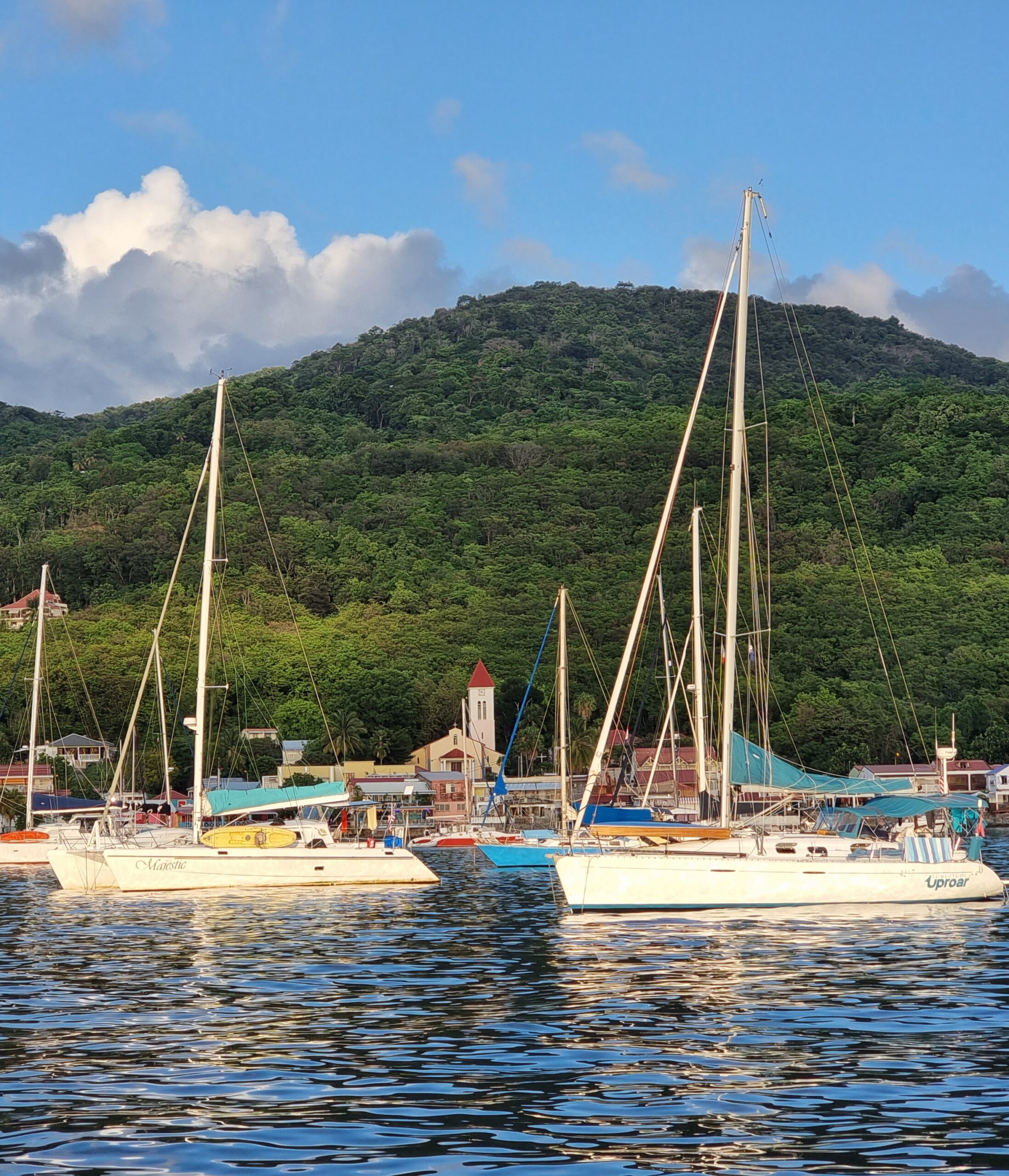
We are in Deshaies, Guadeloupe à pretty village, as you can see.
Shear magic to snorkel with 9 dolphins including 3 babies. They popped up next to the boat so we grabbed masks and fibs and dived it.
No dolphin photos, sorry!
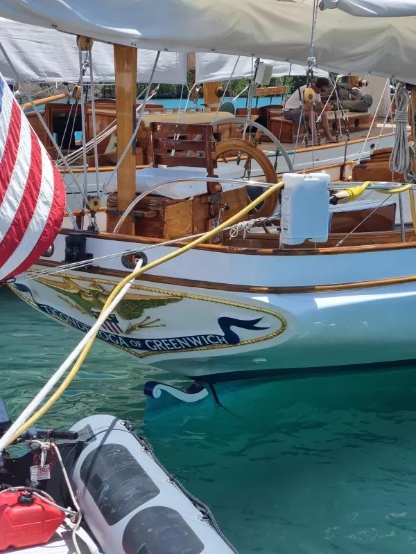
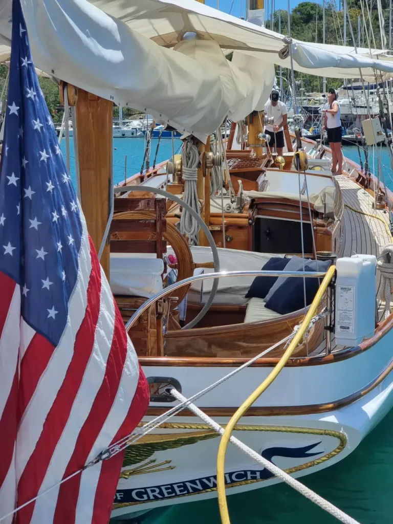
Antigua Classic Week is where the racing boats are from the bygone era of Gentlemen in Captains caps and crews happily polishing in the tropical sun. Probably only lasts a few months before the sun destroys it.
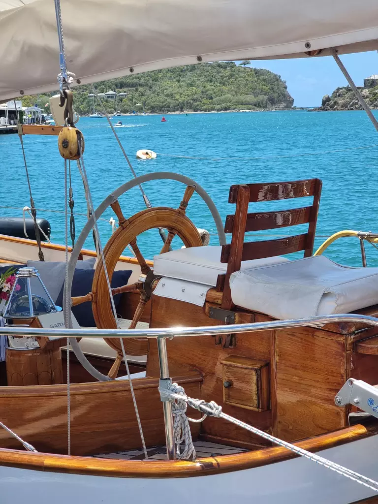
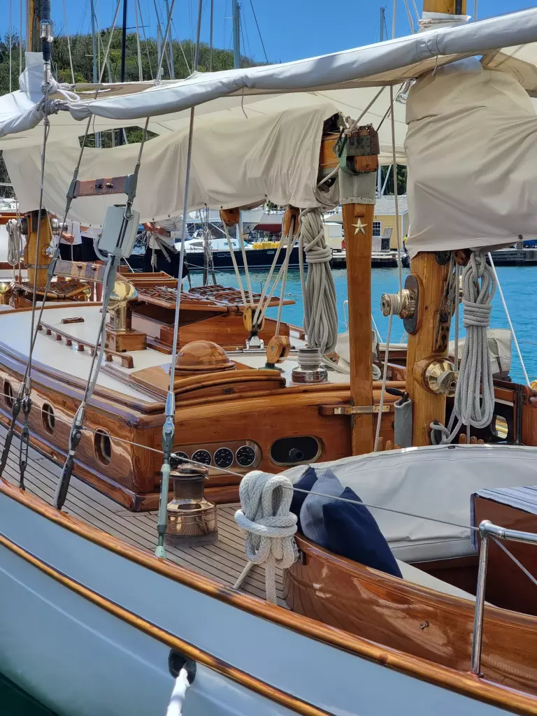
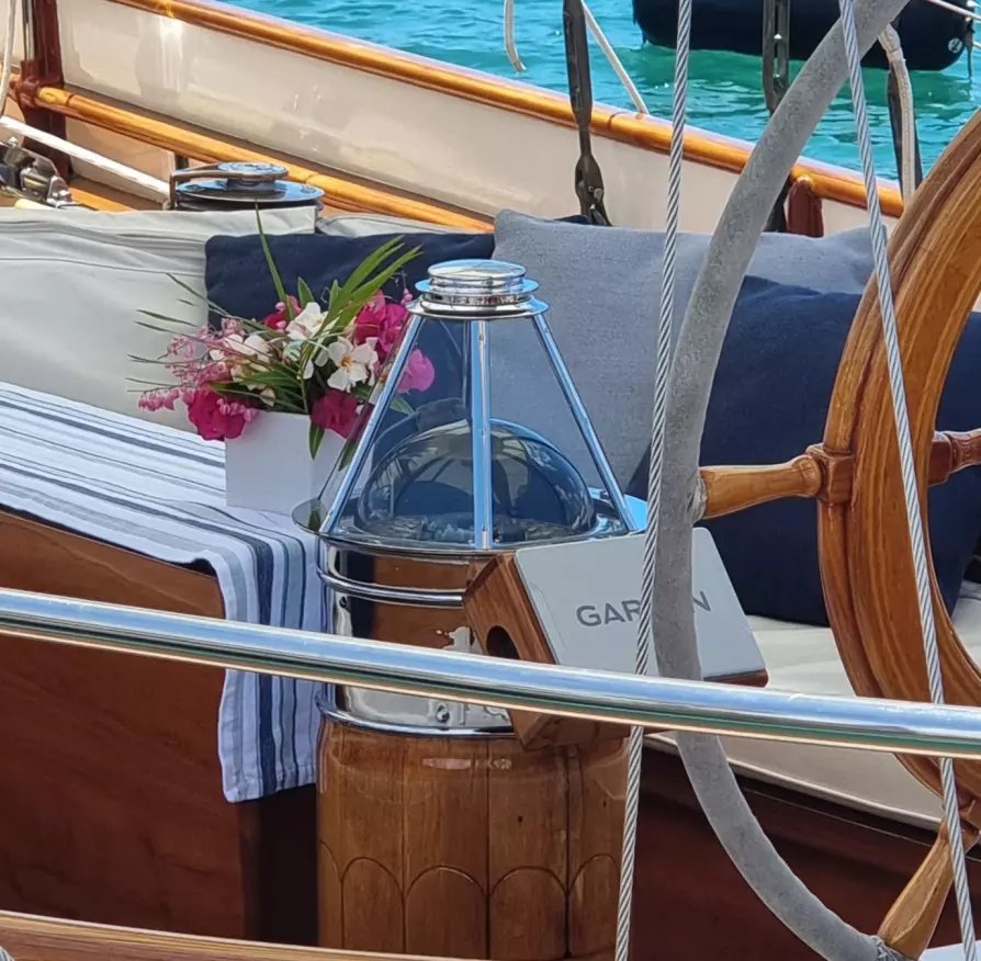
Whats this pyramid over the compass? A light? weird!
Atlantic Crossing Forum
We had a group of about 80 At Island Water World who are intending on sailing from St Martin in the Caribbean to Europe this season. I co-presented with Mike of Quinn the designer of Nimble Navigator “Navstick” an integrated USB chart plotter, GPS and included charts.
Resources and notes are in files below.
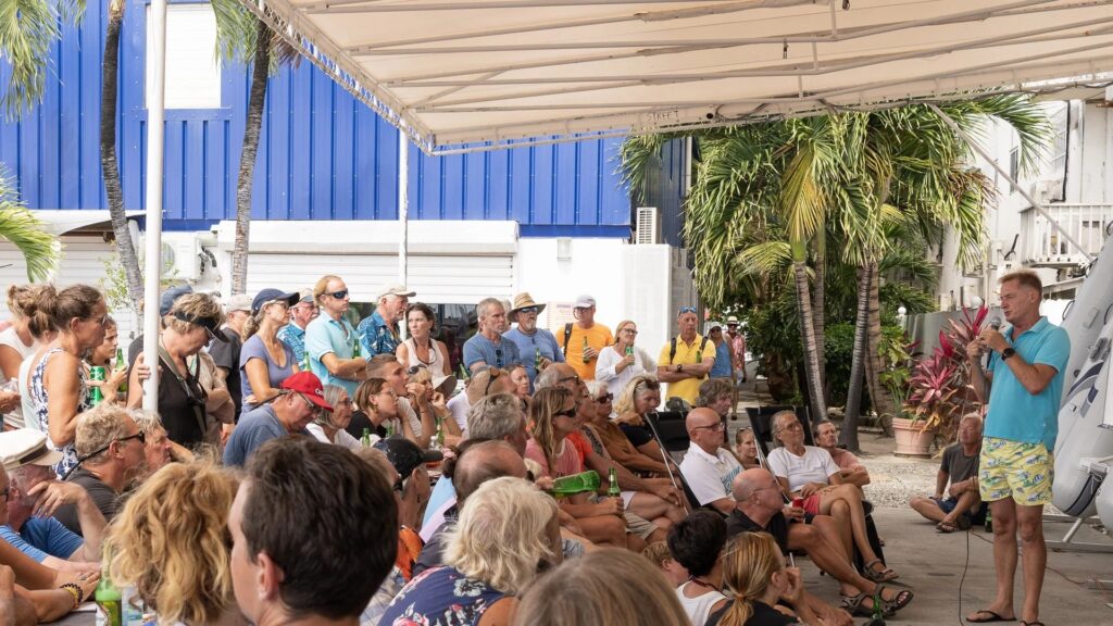
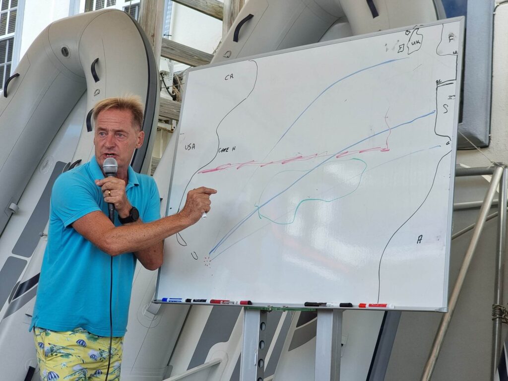
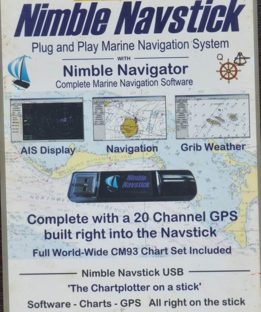
My presentation I promised links and things, so here you go: Notes, resources PDF or in a Word File
The Azores High shown in this GPX file is mine. It was adjusted every day at sea and for weeks prior to the passage. The position moves and your course needs to move and follow it. My line is about the 10 knot wind line of the High. I sail about 100nms to the left of it and divert into it if a gale comes our way. GPX File for a chart viewer / plotter Right click and download
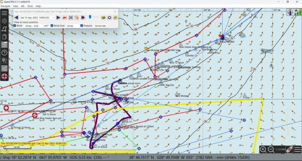
Above you can see my 2017 plot with 2023 weather laid over it. It still works. Into the Azores is 34 knot winds. Far too strong to enter the unfamilier harbour. But in the Yellow of the High you will see the winds are much lower. The Black line is a diversion I made to avoid a gale.
Marjorie and I tied the knot in Palavas-Les-Flots, France.
Loads of great food, fabby friends that flew in from all over the world.
Everything was just so sensational!
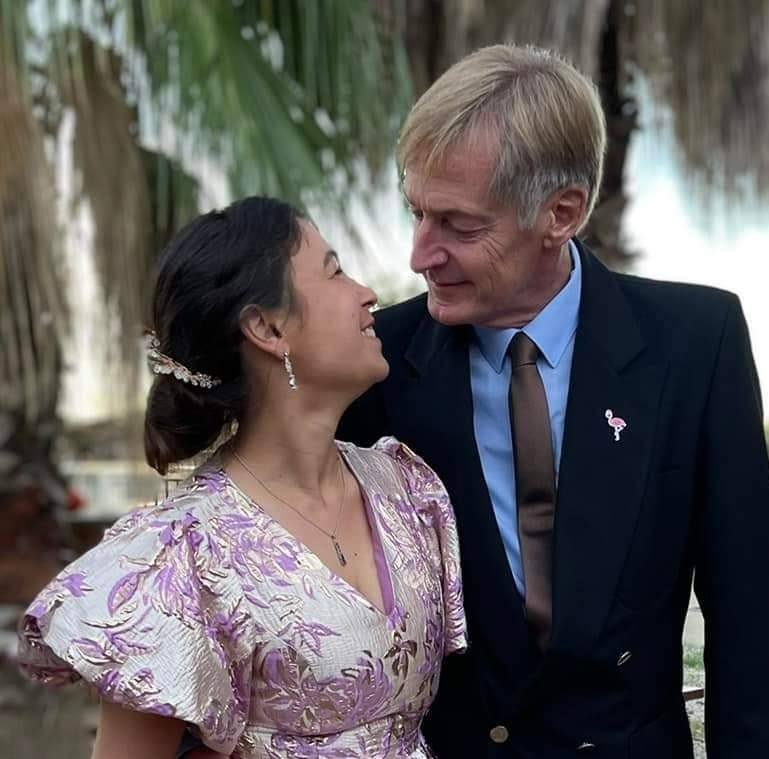

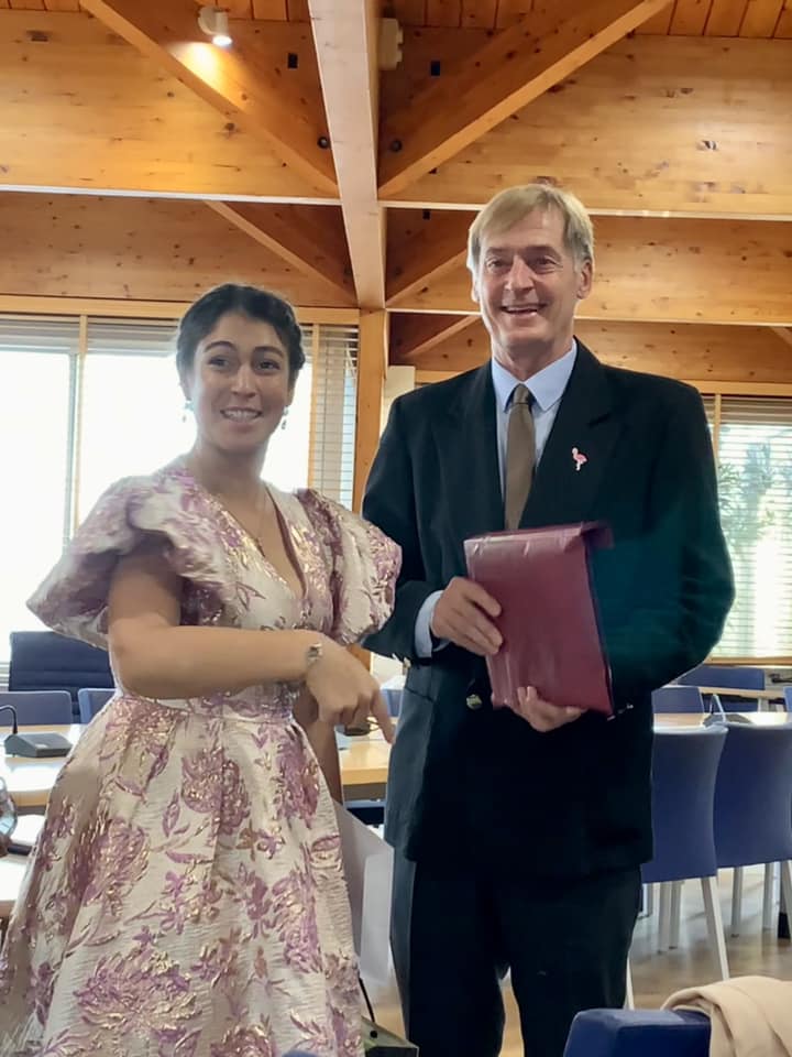
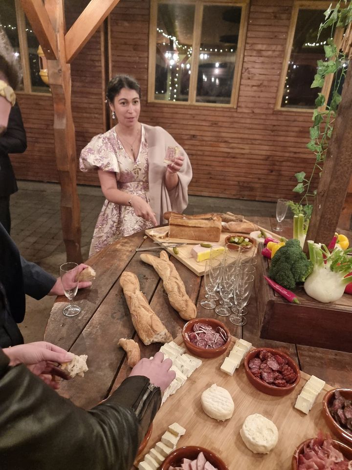
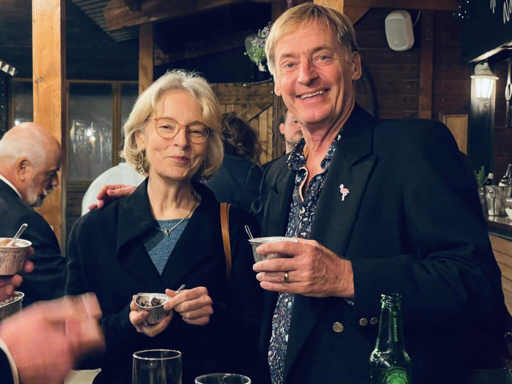
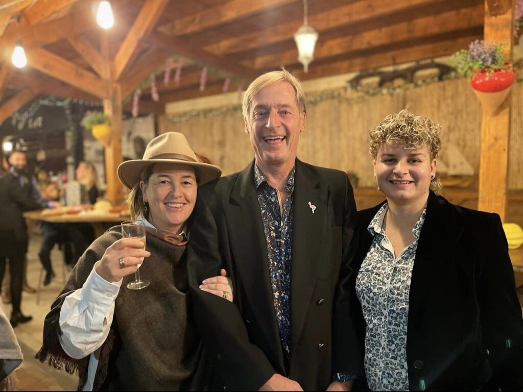
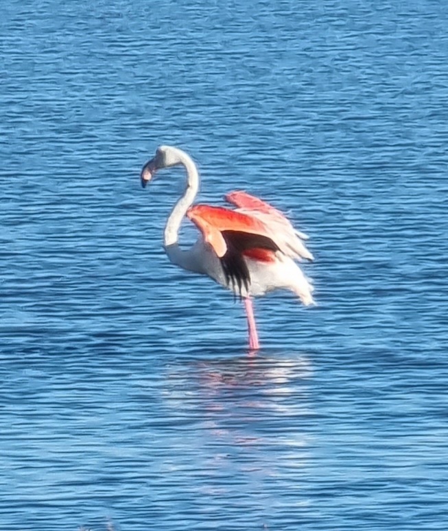
Flamingos about to head south for winter. I hope they’re still here for our wedding! ?
Crikey! It’s been so long that you probably thought we were lost at sea in the Atlantic. Updating can be a pain in the butt so today I’m learning to do it from my phone.
Marjorie & I are in France checking out the farm/stable/castle. She keeps asking what I want for the wedding reception. I say “Beer”. How can this be an inappropriate response?
“Should we have candles here?” “Beer”
Sailing out of Cherbourg, France, to St Martin in the Caribbean. A trip of about 4,000 nautical miles / 8,000 kilometres.
Its an interesting navigation exercise for Marjorie and me … and about 35 days of enforced togetherness. And fishing.
You can watch us trickle accross the ocean… see the links below.
Here is a guestimate of the course:
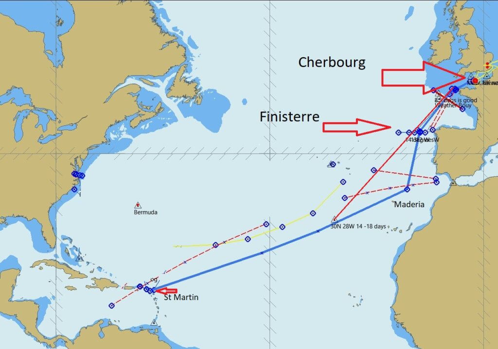
From Cherbourg we head South keeping a long distance off Carbo Finisterre as it gets stormy in a wind compression zone. Then continue on the blue line or the red line. The Yellow line is the southern edge of the light winds and SW storms so we will stay south of that. Then its onwards to the Caribbean! If we are lucky the wind will be good on the course we want, otherwise we need to go further south… that makes the trip a bit longer, but the fishing better! 🙂
If you want to see where we are right now:
or
Trip: Sea Life (spotwalla.com)
Mark 🙂 and Marjorie 🙂