Atlantic Crossing Forum
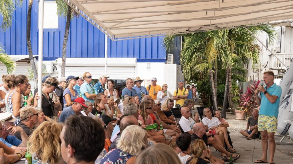
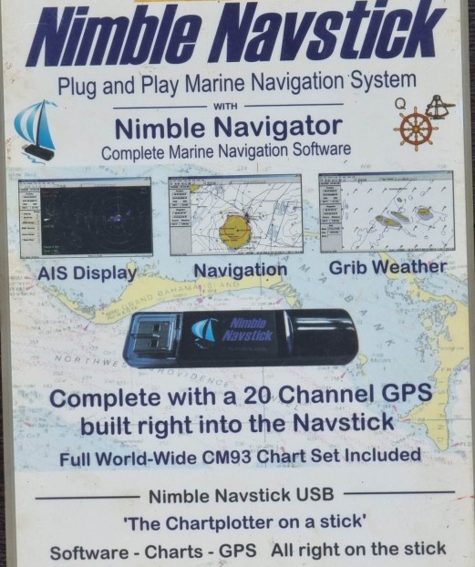
We had a group of about 80 At Island Water World who are intending on sailing from St Martin in the Caribbean to Europe this season. I co-presented with Mike of Quinn the designer of Nimble Navigator “Navstick” an integrated USB chart plotter, GPS and included charts.
Resources and notes are in files below.
My presentation I promised links and things, so here you go: Notes, resources PDF or in a Word File
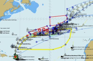
The Azores High shown in this GPX file is mine. It was adjusted every day at sea and for weeks prior to the passage. The position moves and your course needs to move and follow it. My line is about the 10 knot wind line of the High. I sail about 100nms to the left of it and divert into it if a gale comes our way. GPX File for a chart viewer / plotter Right click and download
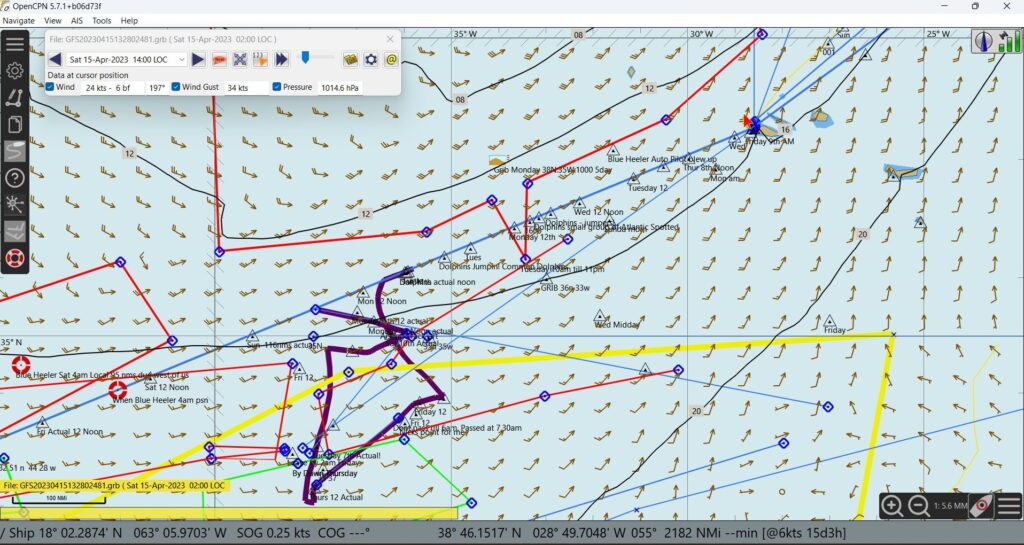
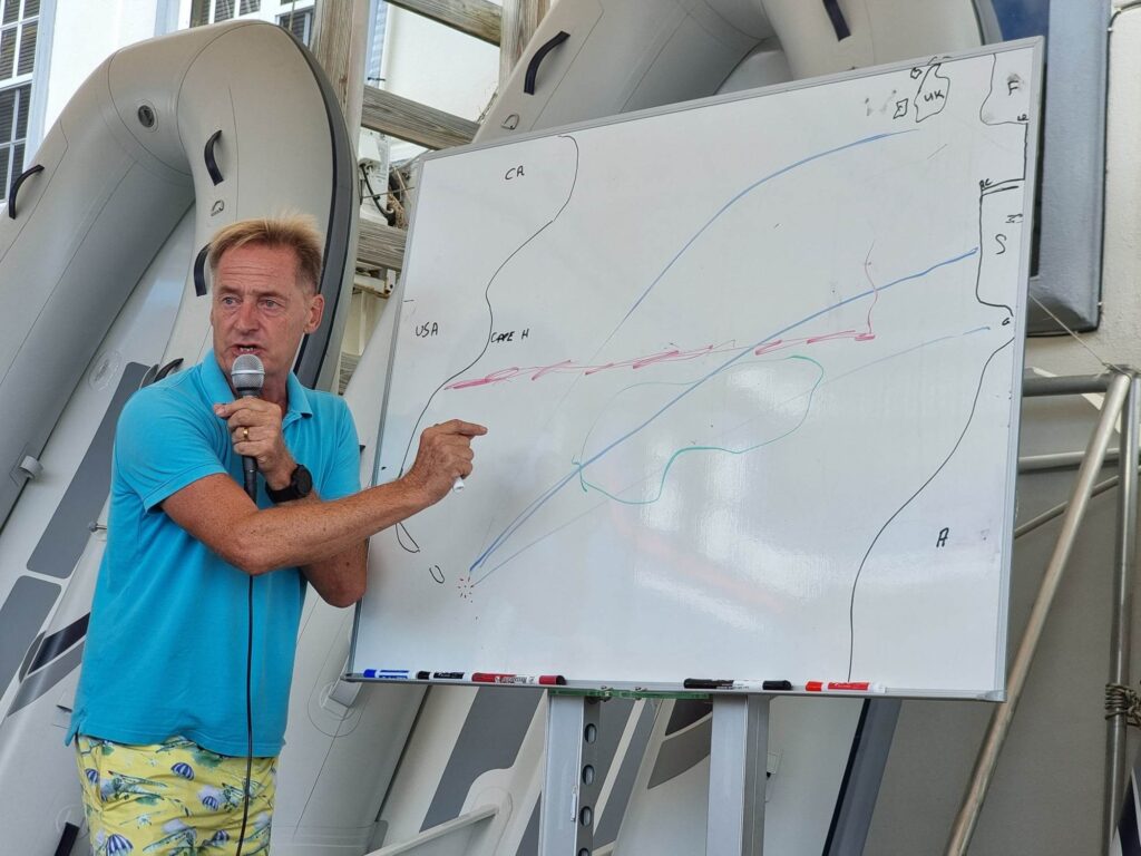
Above you can see my 2017 plot with 2023 weather laid over it. It still works. Into the Azores is 34 knot winds. Far too strong to enter the unfamilier harbour. But in the Yellow of the High you will see the winds are much lower. The Black line is a diversion I made to avoid a gale.